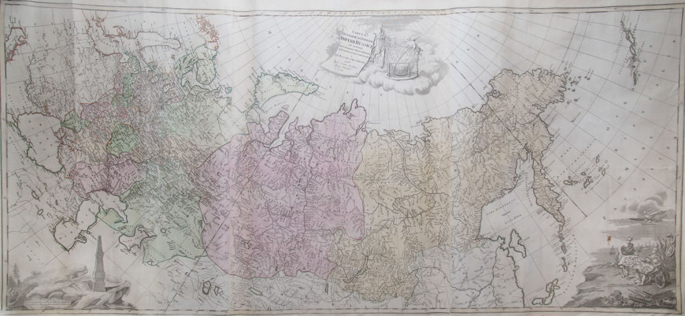
Asta Bidspirit | Tabula geographica imperii Russici generalis
Tabula geographica imperii Russici generalis ...” by J. Treskot u. J. Schmidt at TC Lotter, Augsburg, year 1784. - Engraved map with original hand-colouring, 3 plates assembled. total size 64: 140 cm. Reference: Bagrow / C. S. 210 with Teilabb. Figure 73. Tooley, Mapmakers IV, 123 (p) u. 289 (T.) and Lex. Kart. 599 (each EA mentioned). - Lotter issue for the first time in 1776, published by the St. Petersburg Academy overview map. Shows the area between North Cape / Venice u. The northern Aleutian Islands. Provenance: Private Collection, Amsterdam.